|

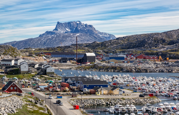 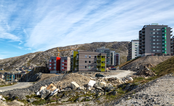 Another port where we berth, it does make it easier. We were not long out of the port before our first photo stop. The first photo was taken here, you can see a tall chimney of
a municipal incinerator, the guide said it was a bio fuel plant, Google maps has it as a gas (petrol) station! From a translation of the associated web page, I think my guess is nearest. Our track goes past here later and we drive round to the other side of the bay for another photo stop with a view
back to Marco Polo.
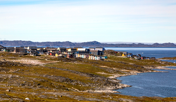  We then retraced our route and went north east to the airport, we went
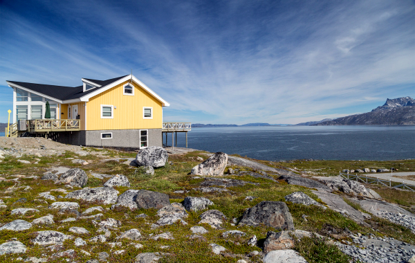
round the end of the runway and had another photo stop on the other side,. Photo 3 was taken
here and you can see a yellow house in it which we stop near at the next stop. This was at
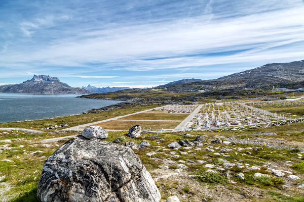
a new development of expensive houses with a good view. They are next to the graveyard which
is in bewteen the two stops. In Greenland graveyards are always placed at the best views so those that are laid to rest have a good view to look over.
 We then went
back to the main town and saw the city centre, hospital, Cathedral and old harbour and finally back to ship. We covered a lot of ground, far more than we could have seen on foot. This was more
important as an introductory tour than it was at Sisimuit. The main town and shopping center
is quite a way from the terminal.
top
|